The Dawn of Aerial Assessments
Drone Surveys have brought innovation to construction and architecture evaluations, creating a new era of progress in the field. These aerial devices have transformed traditional methodologies, introducing a level of precision and convenience previously unattainable.
Professionals can now use flight to gather more precise and detailed information about buildings. This enables them to assess structures with greater accuracy. This shift towards aerial assessments represents not just technological advancement but also a commitment to enhancing the quality and efficiency of structural evaluations.
Drone Surveys The Bird’s-Eye Advantage
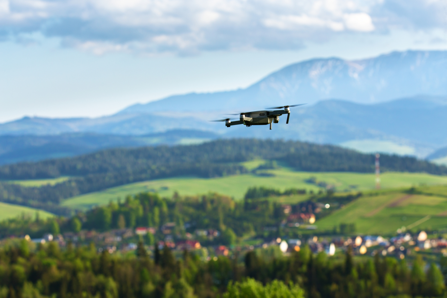
Drones can fly above buildings easily, giving us a unique view and changing how we inspect structures. This high view captures all the details of a building’s outside, including ones that are hard to see from the ground.
From the intricacies of rooftops to the nuances of facades, no area remains hidden from the watchful eye of the drone. This advantage improves assessments and gives a complete understanding of the structure’s condition, revealing any hidden issues.
Accuracy and Detail: Beyond the Naked Eye
Drones have powerful cameras and sensors that can find small defects easily. Drones capture detailed images of cracks, water damage, and wear and tear, giving unmatched level of detail.
This precision ensures that potential issues, even those that might escape the naked eye, are identified and documented. Therefore analysing specific areas in detail helps thoroughly assess buildings. This approach ensures that no mistakes are made and no part of the building is overlooked.
Safety First: Minimising Risks with Drones
Traditional building assessments often come with inherent risks, especially when inspecting tall or aging structures. Drones, however, eliminate many of these dangers. Inspectors can stay safe on the ground while drones do high-altitude work, reducing the risk of accidents.
Furthermore, drones can access potentially hazardous areas, such as unstable rooftops or deteriorating facades, without putting human lives at risk. Drones keep the inspection team safe and give a better assessment by going to places that humans might avoid. The integration of drones in structural evaluations underscores a commitment to prioritising safety without compromising on quality.
Drone Surveys: The Economic Benefits
Drone surveys have emerged as a game-changer in the field of building assessments. They are not only thorough but also remarkably time-efficient. By harnessing the power of advanced aerial technology, these surveys can capture detailed images and data at a pace that was once thought impossible. What might take days or even weeks using conventional methods can now be achieved in mere hours with a drone.
This drastic reduction in assessment time directly translates to significant cost savings. Drone surveys save money by reducing labour hours, and equipment rentals, and collecting data faster. This makes them a popular and cost-effective choice for construction and real estate companies in today’s competitive market.
Data Integration: Building a Virtual Model
Drones capture data that software tools can easily turn into detailed 3D models of the structure. These models act as interactive blueprints, enabling deeper analysis and improving communication among stakeholders.
Conclusion: Drone Surveys the Future of Building Assessments
The construction industry keeps evolving, and we must emphasize the need for accurate and efficient building assessments. Drone surveys offer numerous advantages and are becoming the go-to method for structural evaluations. Using this technology guarantees that we build and assess structures with unmatched precision and care.